Rezoning: At What Cost?
Data Visualization
Data Through Design | March 2024
Allen Street Gallery | April-June 2024
University of Virginia, School of Architecture |
September 16th-October 20th 2024
︎New York, NY
︎ Project Link
Data Visualization
Data Through Design | March 2024
Allen Street Gallery | April-June 2024
University of Virginia, School of Architecture |
September 16th-October 20th 2024
︎New York, NY
︎ Project Link
Gowanus, Brooklyn has undergone massive changes due to the neighborhood rezoning that was approved in November 2021. Over those two years, many buildings have come down and many pits have been dug to make way for new buildings - the neighborhood is unrecognizable. The future landscape of Gowanus is just one example of the aftermath more neighborhoods in Brooklyn are currently or are likely to be facing soon.
Public policy is often hard to decipher and sometimes hidden from the people that it impacts the most. Rezoning: At What Cost? embeds previously indigestible data into physical form while also providing necessary spatial context to truly understand the data’s implications. Users are able to explore and learn about the data themselves, coming to their own understanding about what it all means. By inviting users to engage with a physicalization of the data, Rezoning: At What Cost? begins to rebuild a connection between people and policy.
Information is Beautiful Awards 2024, Shortlist + Longlist for Unusual Category
Research Rhino
Design Lasercutting
Fabrication Illustrator
Installation
Print Design

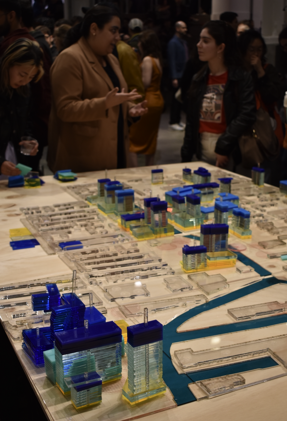
The map of Gowanus is a future snapshot of all buildings currently permitted for construction since the rezoning. Each residential building is a combination of colored acrylic floors depicting the percentages of market rate and affordable housing.
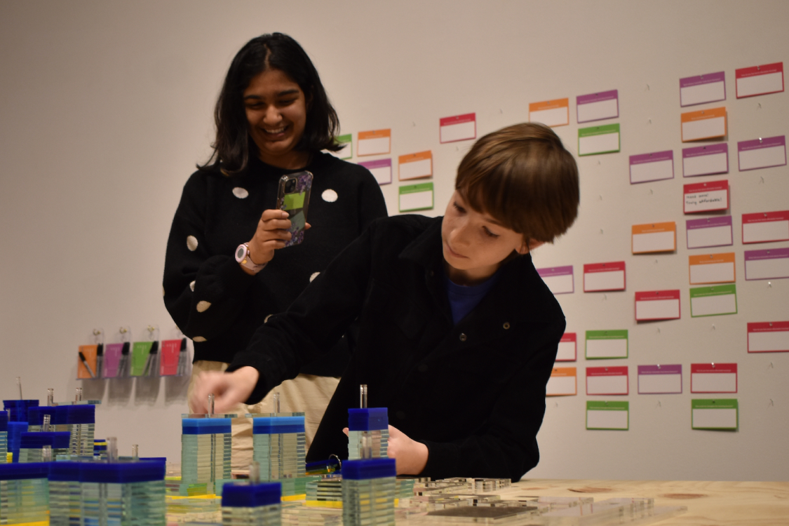
Users can tangibly play with the data by taking off floors of buildings and rearranging them for their own personal exploration. Users can learn more contextual information from an accompanying zine that also doubles as a worksheet to see how they do or do not fit into the NYC affordable housing system.
Lastly, users are able to fill out reflective question cards about their experience and the future of rezoning and affordable housing. Cards are collectively displayed as a grid behind the map.